I've actually been working on something I intend to post, but it's not quite ready yet. One of the things I wanted for it was a GPS track of the (approximate) boundaries of Toronto -- so, yesterday, I biked the border, as best I could.
You can't actually bike the exact border. Sure, the north edge is easy -- 40km straight of Steeles -- but you can't ride through the Rouge River valley, and taking the paths along Etobicoke Creek is hindered by a couple of missing bridges. But I did the best approximation I could.
For extra fun, I decided to try live-tweeting the ride, and I've collected the tweets below, with some extra comments.
The photos are all taken using my iPhone, which presented a few problems: the iPhone camera has a fixed, wide-angle lens, so there isn't a lot of flexibility in composition; and the Sun was bright enough that, most of the time, the only things I could make out on the screen were silhouettes.
Note that some tweets didn't send properly at the time I composed them, and I ended up re-submitting them when I went to write the next tweet -- so the time stamps can't always be trusted!
7:47 AM : Trying an experiment today: gonna tweet my bike ride. But first: silly cat photo!
I needed to try the TwitterFon app to see how you posted photos with it, and Mouse provided a perfect subject.
8:10 AM: Ok, ready to go. First stop: Cherry Beach!
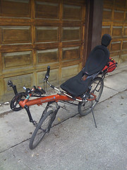
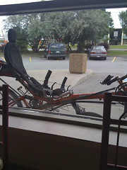
The Streetmachine Gte, sporting a new chain & cassette thanks to the wear and tear of 5000km of riding having worn the teeth of the old one.
8:26 AM: At Cherry Beach. Now for an hour of running with the pups.
Often when doing long rides on weekends, I bike down to Cherry Beach and meet L there with the dogs. We do our usual morning dog-walk, then she takes the dogs home and I continue on my way.
As I was leaving Cherry Beach, I started getting "network failure" messages, and my tweets didn't get through. The problem continued for a while.
10:44 AM: Twitter problems... Testing...
10:46 AM: Ok, seems to be working. Getting food at Kingston & Eglinton. Here's the new Unwin bridge:

Finally, after a couple of hours, things were working again. I had taken a photo of the new Unwin bridge, which had only recently re-opened, so I forwarded it once I had the network back.
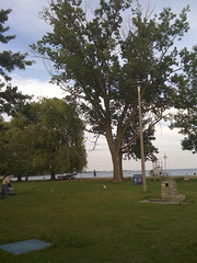
11:17 AM: Looking out at Darlington as I approach Highland Creek. 1/3 done
There's not that much to see between the Beaches and Highland Creek, but once you're approaching the creek, you get a good view of the Darlington power plant. Unfortunately, the wide-angle lens on the iPhone reduces tht part of the view to a tiny fraction in the middle.
11:20 AM: This bridge over Highland Creek is fairly new. Before, I'd have to turn north here.
My usual Scarborough path is out to Highland Creek, then up along the creek in a big semi-circle that curves back through Colonel Danforth Park towards the Scarboro Golf & Country Club. This bridge went in fairly recently -- last summer, I think -- and this is only the second time I've ridden across it
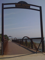
11:33 AM: The Rouge River pedestrian bridge.

Not far past the Highland Creek bridge is this bridge over the Rouge River. The city's building a bike trail all the way here, but for now you have to cross the GO tracks at Rouge Hill (there's a level crossing) and take Lawrence Ave E to get here.
11:43 AM: I've never biked in Durham before...

I'd only ever gone as far east as the Rouge Hill GO station before. Next time I'm out this way, I'll continue along the Waterfront Trail to Darlington. I'm going up through Pickering because you can't bike through the Rouge River park (so far as I know).
12:24 AM: Petticoat Creek:
Around here, the hills started getting annoying. Not that you can tell in this wide angle shot.
12:31 AM: Hard to climb on a recumbent:
This doesn't really show the steepnes of the climb very well. Recumbents are great for long rides, but for climbing hills you have to rely entirely on your gearing -- you can't stand on the pedals to use your weight.
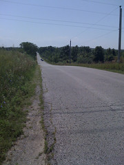
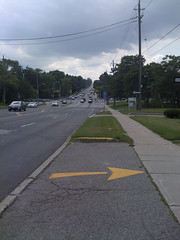
12:37 AM: Finally! Steeles. 40km to the next turn.
I'd never been out this far on Steeles. It was more rural than I'd anticipated -- though I have no idea why I should have expected anything else.
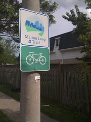
12:44 AM: A reminder of how far east I am:
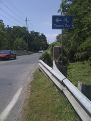
This sign is pointing south to the Zoo. I don't think I've ever been inside Toronto north of the Zoo before.
12:49 AM: Moo.
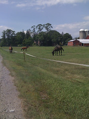
Wildlife! Sorta.
1:01 PM: 52km - Time for a breather and a drink.
I spotted a pharmacy and grabbed some water.
1:32 PM: Pacific Mall - the heart of Little Hong Kong.
Good green tea ice cream there.
1:49 PM: Almost half way. Lunch break!
Traditionally, when on long rides, I do a McDonald's breakfast and a Wendy's lunch. Not sure why.
2:28 PM: Gah! Nettles!
I zipped through these plants, and it was only as I hit them that I realized they were stinging nettles.
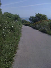
2:38 PM: Long climb ahead:
Again, the wide-angle really downplays the climb.
2:51 PM: Yonge St - Halfway done Steeles:
The city boundary along Steeles runs 40km in a straight line. I think that's the longest I've ever actually ridden in a straight line...
3:11 PM: I'll have to check this place out some other time:
This connects in to G Ross Lord Park, which I've ridden in before.
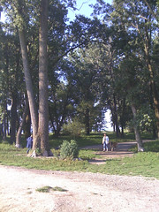
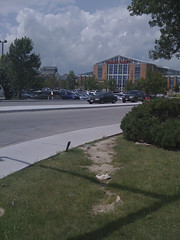
3:21 PM: York University:
It's in behind the trees somewhere. I've been here a few times on my bike, usually when riding Black Creek's paths.
Around this time, I was starting to worry that there might be a storm coming. Wouldn't be the first time I'd've been caught in a downpour on Steeles.
3:36 PM: Across from Radioworld, my fav GPS store. Time for a drink.
Radioworld is a great GPS store, though my current Garmin Oregon 300 comes from Mountain Equipment Co-op.
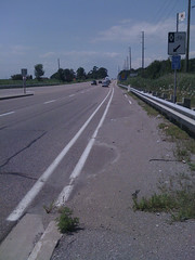
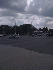
4:22 PM: Here we are - The west end of Steeles. It's downhill from here!
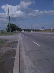
Looking back the way I came. Not quite as rural as the other end.
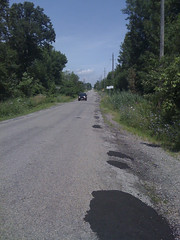
4:30 PM: Abandoned road & Hindu temple:
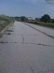
Indian Line Road is falling into disrepair. No cars are allowed at this point. It provides a back way into Indian Line Campground on Claireville Lake, next to Wild Water Kingdom. The somewhat incongruous temple in the distance is the new BAPS Shri Swaminarayan Mandir, which opened in 2007.
4:33 PM: On the Claireville Dam:
A quiet view of Claireville Lake, with the campground off to the left. I exited the park through the campground, with lots of kids yelling "Cool bike!" as I rode past.
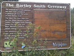
4:45 PM: Hmm... I didn't know about this:
Another set of trails to explore!
5:15 PM: YYZ:
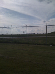
Not just an instrumental by Rush, it's also an airport!
Not that you can see much of anything in the photo -- I just figured that, since this is the closest I've ever biked to the airport, I should get a shot.
5:24 PM: 100km - Yay! 30km left - 1.5-2 hours.
At this point, I've exceeded my original time estimates for the ride. These estimates also will not hold, for a few reasons.
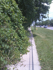
6:19 PM: Hmm... Can't get down Etobicoke Creek yet...
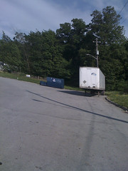
The city border runs down Carlingview, past the airport to Eglinton. It then follows Eglinton to Etobicoke Creek, and runs down the creek to the lakeshore. I thought I might be able to head down this street, Rakely Court, and find a trail along the creek, but no luck.
The image is oddly skewed because the iPhone's camera uses a scaning method for pulling the image off the sensor chip, and I moved the camera while it was doign this. It's an interesting effect, but not at all what I was after.
It turns out, after later investigation with Google Maps, that there is a path at the creek, but I missed it this time around. I may do the Humber-Eglinton-Etobicoke Creek loop to fill that in later. The big problem is that, as near as I can tell from Google Maps, the bridges are out on that path:
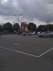
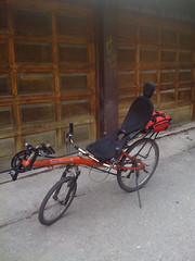
6:20 PM: Hey, I'm not the only one!
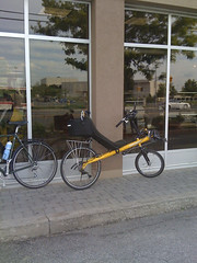
Usually, when I do the Etobicoke Creek-to-lakeshore path, I join the creek at the south end of Centennial Park and follow that to Dundas. At that point the path stops, and I take The West Mall down to this Tim Hortons, grab a drink, and rejoin the creek with the new path. This is the first time I've stopped anywhere (except the Urbane Cyclist) and seen another recumbent parked outside!
6:33 PM: Nice talk with the owner of the Bacchetta.
We chatted about over-seat stearing vs. under-seat, long-wheel-base vs. short-wheel-base, and sundry other recumbent topics. The rider's husband joked that, whenever he rides his plain green bike along behind his wife's Bacchetta, he might as well be invisible.
6:52 PM: Finally! Back at the lake. Revised time estimate: 45-60 mins
The talk with the other recumbent owner delayed me an extra 15 mins, but this is the home stretch now!
7:26 PM: First sight of downtown on the home stretch:
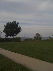
This is somewhere around 5th Street in Etobicoke. Once again, the wide angle on the camera kinda minimizes the effect.
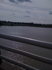
7:27 PM: Humber bridge:
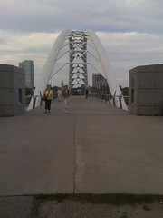
It was shortly after this that I started realizing that I'd mis-remembered when Caribana was...
7:34 PM: Busy down here:
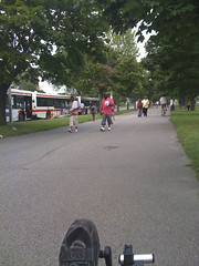
Sure, it started a couple of weeks ago...
7:37 PM: Very busy:
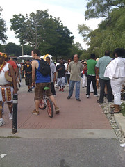
But the parade was today!
8:16 PM: Almost there...
I backtracked to Parkside and worked my way back north to Dundas, then College. This was tweeted from College & Bay.
8:24 PM: There... All done!
And home.
Final tally: 141km, 12h30 including dog park, two meals, and other stops. And I really should have remembered that it was Carribana...
Here is the overall route:
No comments:
Post a Comment