This is where you hit your top speed. The bikes going down are widely spaced, so you don't have to worry so much about crowding and can really open up. My GPS recorded a top speed of 52.3 km/h -- the first time I've broken 50 km/h on a bike. Last year I managed 49.5 before another cyclist cut in front of me and I had to slow down.
As I mentioned in part 1, this slope is in two sections with a level bit in between. It only runs half a kilometer, but it can bleed off a lot of your speed. On the second slope, I took it easier -- and just as well! About halfway down, while I was doing 46 km/h, a cyclist ahead of me lost her water bottle, and it skittered across the road at me. I really didn't want to run over a bottle at 46 km/h, but I didn't want to try a sudden stop at that speed either! Fortunately, I just clipped the bottle, with no ill effects.
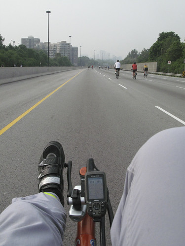
29.5 km into the ride
The nasty climb. The slope between Wynford and Lawrence is lots of fun going down, but much, much less enjoyable in the other direction. As you can see here, I'm just barely managing 11.0 km/h.
(The numbers on my GPS as speed on the left, and total distance on the right.)
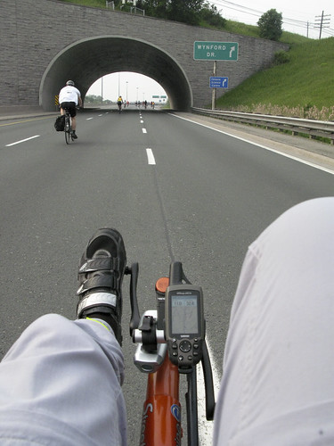
32.4 km into the ride
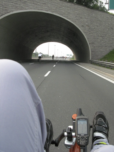
32.5 km into the ride
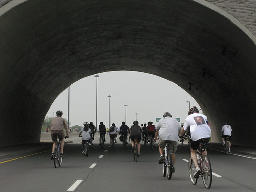
As you go through the railway underpass, at least one of the cyclists going through with you will yell to get the echo. I think it's in the Ride charter.
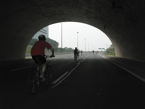
32.6 km into the ride
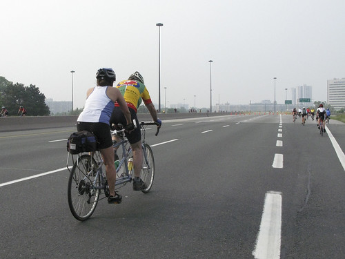
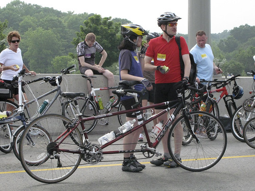
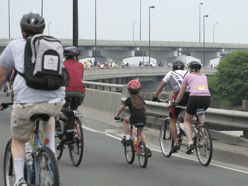
There were a lot of tandems on the ride, as well as other exotic bikes.
33.0 km into the ride
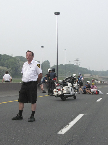
As I was approaching Don Mills, I encountered the first of two accidents I passed on the ride. On the right of the photo is the cyclist, on his side with his back to me, covered in bags of ice to keep the swelling down until the ambulance arrives. It was there when I passed again on my way back north a few minutes later.
36.3 km into the ride -- almost halfway!
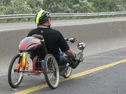
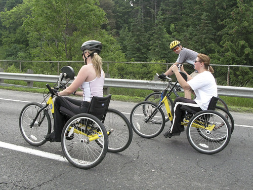
After turning around at the Bayview-Bloor exit, I spotted three hand-cranked trikes. These are tricycles with hand-operated pedals instead of foot-operated ones, generally used by paraplegics.
They're very tiring to ride compared to regular bikes, since arms just don't have as much power as legs, so I expect these riders were doing the 50k route. They were about 20k in at this point.
43.5 km into the ride
43.9 km into the ride
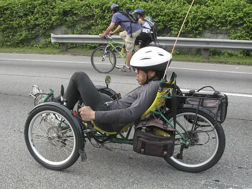
I also passed this recumbent trike several times. The rider generally didn't stop at rest stops, so he'd overtake me while I was getting an orange slide, then I'd catch up with him again later.
I've also seen this fellow riding up and down the waterfront bike trails.
44.5 km into the ride
The climb to Eglinton strikes again. On the way I passed another tandem and a very expensive-looking triathlon bike.
46.1 km into the ride
47.1 km into the ride
47.2 km into the ride
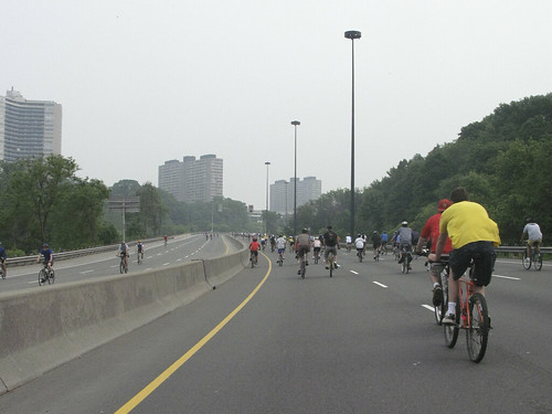
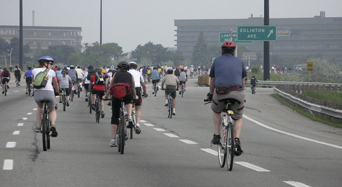
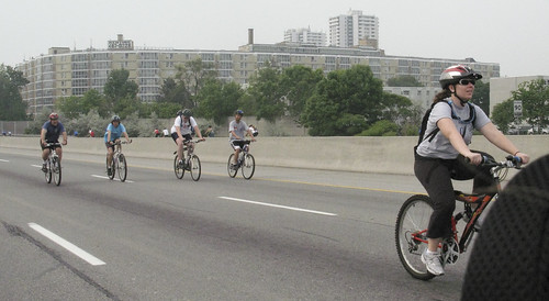
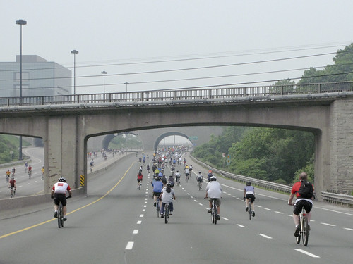
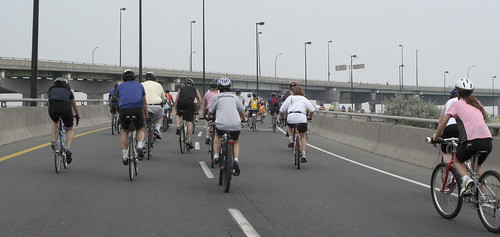
At this point, the DVP is covered with not only the 75k riders that I started with, but the 50k riders that started an hour later -- it's starting to get a little crowded. Though the crowd looks thinner behind me.
48.1 km into the ride
48.2 km into the ride
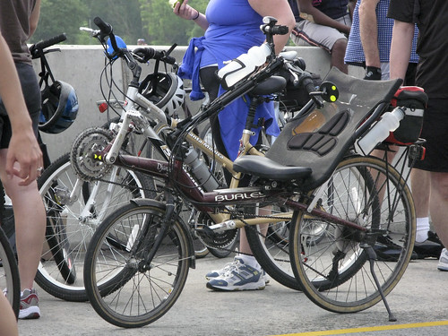
Back at York Mills for the second time, I took a shorter break. I spotted another tandem and a nice Burley short wheel-base recumbent. This one is similar to my old bike, the Rans V-Rex, though with a fancier frame.
52.9 km into the ride -- over 2/3 done!
52.9 km into the ride
Back to the nasty climb to Wynford. It was harder this time, not only because I was much more tired, bu because there were far more cyclists going slower than I was in front of me. I really wanted to keep my speed up as much as I could, but I couldn't weave through the crowd! Last time I went through the tunnel, it was with one other cyclist -- now it was a dozen.
55.6 km into the ride
56.0 km into the ride
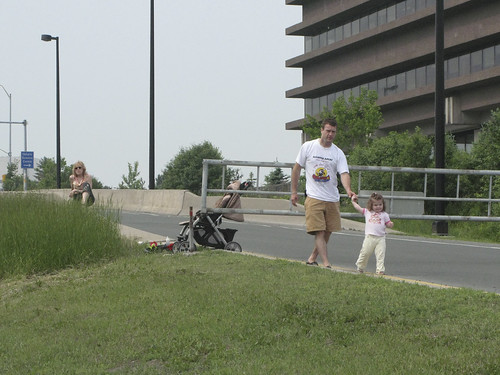
A four-hour bicycle tour isn't as exciting as the Santa Claus parade, but it did bring out a few spectators.
56.3 km into the ride
I passed the second accident just as I was getting to the bottom of the DVP. A cyclist was lying on the road on her front while the paramedics discussed whether or not to back-board her. The good news was that she wasn't so badly hurt that she definitely required the back-board -- the bad news was that she was hurt badly enough that they were considering it.
The last big climb of the ride is at the bottom of the DVP, going back up onto the Gardiner. Fortunately, the climb from the southbound DVP to the westbound Gardiner doesn't have nearly the elevation change of the drop from the eastbound Gardiner to the northbound DVP! (You can see the eastbound Gardiner on the far side of the cyclists in these photos)
The climb is just 13 m over 1 km -- but after almost 70 km of riding, I still felt it!
68.9 km into the ride
69.1 km into the ride
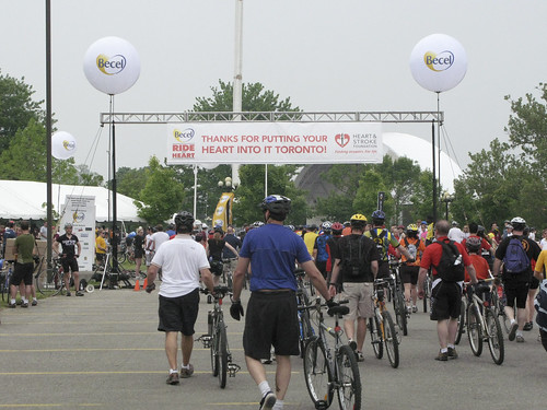
And, finally, the finish line! The ride actually finished a little before this picture, when the lane heading into the CNE got too crowded to continue riding, and everyone had to get off and walk their bikes to the official finish line.
In the end, it turns out that the 75k course is 77 km long.
After the ride, I biked over to the Sunnyside pavilion for some lunch (though they were still serving breakfast), and then home. I didn't realize it, but the total of the Ride for Heart, plus getting there, getting to Sunnyside, and getting home, almost reached 100 km -- I was 1500 m short. I should have gone around the block a few extra times at the end!
77 km into the ride
So here are some final statistics from my ride:
- Total distance ridden: 76.91 km
- Climbing distance: 11.54 km
- Descent distance: 12.08 km
- Flat distance: 53.29 km
- Total time: 3:45:25
- Moving time: 3:21:22
- Moving average: 22.9 km/h
- Max speed: 49.4 km/h (from GPS upload) or 52.3 km/h (from GPS max speed display) (*1)
- Climbing speed: 16.0 km/h, 36.0 km/h max
- Descent speed: 28.2 km/h ave, 49.4 km/h max (*1)
- Flat speed: 24.1 km/h ave, 45.4 km/h max
- Total elevation gain: +613 m / -606 m (*2)
- Climb grade: 1.7% ave, 8% max
- Descent grade: -1.5% ave, -8.9% max
- Temperature: 18°C
- Relative humidity: 88.2% to 93.9%
- Wind Speed: 14.8 km/h to 18.5 km/h from the east
And the most important statistic of all: money raised for heart disease research by the 2007 Toronto Ride for Heart:
$2,700,000
Of which I raised 0.0074%.
(*1) My GPS has a trip display that keeps live values for various statistics. At the end of the ride, it had a maximum speed of 52.3 km/h recorded. However, the tracks that get uploaded to the computer are not as finely detailed, and only record a peak of 49.4, which occurred over a 100m stretch on the way down from the York Mills rest stop. Most likely that 100m stretch peaked at over 52.3 at some point, but only averaged out to 49.4 overall.
(*2) These numbers are the total of all climbs and all descents, not the net difference between the lowest and highest points (which is 93m). The difference is due to the slight differences in the elevation of the north and southbound DVP lanes in various places.
2 comments:
James, while I realize this blog is two years old, it still deserves heaps of praise! I thoroughly enjoyed your documentation of the ride and have found it really helpful as I am participating in the 50k this year. So here is a long overdue... thank you!
-Emily.
I'm glad you found it useful! The blog's been idle for almost a year now, but I hope to have some more posts up before much longer.
Post a Comment